Status
Retired
Location
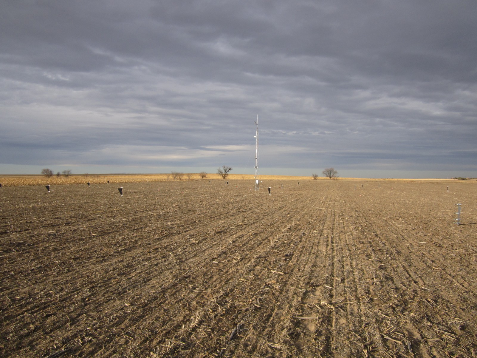
The Akron National Wind Erosion Research Network site is located on the Central Great Plains Research Station, approximately 7 km east of Akron, Colorado in Washington County (40°09′N, 103°09′W). This site is located in a region of mixed cultivated and range (shortgrass steppe) agriculture of the Western Great Plains and is a Loamy Plains Ecological Site. The site is approximately 154 km southeast of the Central Plains Experimental Range (CPER) Network site and both are managed as part of the USDA-ARS Long Term Agro-ecosystem Research (LTAR) network. The CPER site has similar climate and soils as Akron, which offers a contrast in CPER range vs. Akron cropland managements. The site elevation is 1383 m above sea level, in the rain shadow of the Rocky Mountains to the west. The landscape is characterized by gently rolling hills to level plains.
Climate
The Akron site has a semi-arid continental climate with cold, dry winters and hot, dry summers. The mean annual precipitation is 421 mm. Typically 72% of the annual precipitation occurs between April and August. Mean monthly minimum and maximum temperatures range from 15°C to 31°C in July and from -9°C to 3.5°C in January.
Vegetation and soil
The soil at the site is primarily the Keith-Kuma complex (Keith Loam ~60%; Kuma Silt Loam ~30%; minor components 10%) to the northwest, with the southeast corner of the site a Weld Silt Loam. Surface soil texture is a loam to Silt Loam. The soils are deep, well drained and formed in moderately medium textured calcareous loess. Slope at the site is 0%, while in the surrounding landscape slopes range from 0 to 3%.
Management
This is a cropland agricultural site that is managed as a no-till winter wheat-corn-millet-summer fallow rotation (Triticum aestivum - Zea maize - Panicum miliaceum).
 National Wind Erosion Research Network